The USPTO granted SenSen Networks Group US Patent 12,670,613 B2, “Systems and Methods for Image-Based Location Determination,” on 30 June 2026, with priority running back to two Australian provisional applications filed in March and August 2020. The problem it targets is one every enforcement programme operating downtown already knows by its symptoms, even if it has never called it by name.
The urban canyon problem
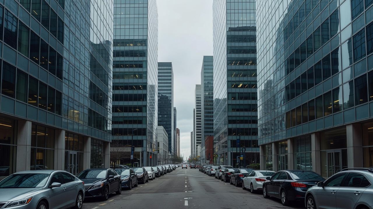
GPS positioning assumes a reasonably clear line of sight to several satellites. Dense high-rise corridors break that assumption twice over: buildings block direct signals, and glass and steel facades reflect them, so a receiver computes a position from a mixture of direct and bounced paths. The result is displacement, not noise — the reported position is confidently wrong.
SenSen’s figures put routine displacement in downtown Chicago and Brisbane at 50 to 100 metres, with one Brisbane measurement recording 171 metres of drift. At that magnitude the reported position is not on the wrong space; it is on the wrong block.
For an LPR enforcement vehicle, that is the difference between a defensible citation and a dismissed one. A plate read is only as good as the location attached to it, because the location is what establishes which regulation applied. Miss the block face and the restriction is different, the time limit is different, and the permit zone may be different. Adjudication hearings are where this failure surfaces, and by then the operational cost has already been incurred.
What the patent describes
The method inverts the usual relationship between the vehicle and the map. Instead of asking a satellite constellation where the vehicle is and then looking up what is at that coordinate, it reads the streetscape directly and asks which known location looks like this.
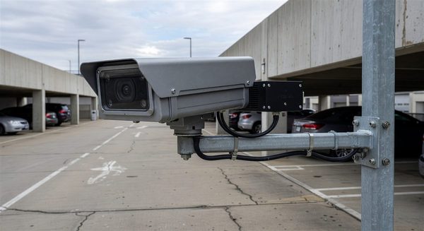
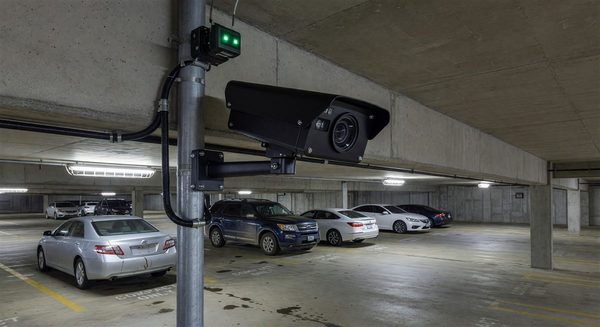
A camera mounted on the moving vehicle captures an image. A background feature extractor — a neural network — converts that image into a compact set of background descriptors: the persistent structure of the scene rather than the transient contents. “Background” is doing real work in that phrase. Parked cars move, pedestrians move, delivery vans appear and vanish, and a system keyed to those features would be matching against the wrong things. Building facades, kerb geometry, street furniture, and signage persist.
Those descriptors are matched against a reference set to determine location. The patent reports accuracy of 95 per cent or better within a margin of 0.5 to 2 metres, across daytime and night-time conditions and across seasons.
The seasonal and night-time claim matters more than the headline figure. Computer-vision positioning has historically been brittle exactly where appearance changes — low sun, wet roads, snow, leaf-on versus leaf-off trees, temporary scaffolding. A method that holds across those conditions is doing something more durable than template matching.
What it would change operationally
A sub-two-metre positional fix on a moving enforcement vehicle is roughly space-level resolution. At that granularity, several things become possible that are currently approximations: automatic assignment of a read to a specific space rather than a block face, reliable differentiation between a loading zone and the metered space adjacent to it, and occupancy inference from patrol passes rather than from in-ground sensors.
It also reduces a dependency. In-ground and puck sensors are expensive to install and maintain, and their failure mode is silent. A camera already mounted for LPR, doing double duty as the positioning source, consolidates hardware rather than adding it.
The honest caveats
A granted patent is a legal instrument, not a shipped product, and the accuracy figures are the applicant’s own, measured under conditions the applicant selected. Independent validation on a third-party corridor is a different test.
The reference set is the operational question the patent abstract does not answer for a buyer. Building it requires a survey pass of the covered area, and streetscapes change — construction hoardings, facade renovations, new build. How often the reference must be refreshed, and what happens to accuracy as it ages between refreshes, determines whether this is a one-off survey cost or a recurring programme.
There is also a jurisdictional question worth raising early rather than late. Camera-derived positioning used to establish the location element of a citation will be tested in adjudication, and the first few challenges will set local expectations for what evidence must be retained. Programmes adopting it should decide their imagery retention policy before the first hearing, not in response to it.
What to do with this now
Nothing urgent. This is a capability to track rather than to procure. The useful preparatory step is to find out whether you actually have the problem: pull a sample of citations from your densest corridor, compare the recorded GPS coordinate against the block face the officer recorded, and count the disagreements. Programmes running entirely in low-rise areas can file this away. Programmes with a downtown core may find they have been absorbing a dismissal rate they had attributed to something else.